The detour begins with a sharp uphill climb. Alice, with her new REI backpack, keeps a strong and fast clip.
Alice, John, Rexplorer take a brief stop by the river. Here, the river is fairly wide and "gentle". The temperature is low and our fingers are starting to freeze.
Rexplorer and John pause at the detour for a good view of the river.
Still on the detour. From here, one can see the fog ahead and how cold it is.
Reconnect to the previously drivable National Forest Road. Our smiles are frozen to our faces. This road, speed limit 25, used to be full of cars, RVs and campers. Now it is quiet with only hikers and bikers.
Two bikers have just pushed their bikes over the detour, and are now ready to ride on the road.
So many trees are completely covered with moss, creating some very strange looking figures.
One of the downed trees blocking the road. Since no car travels on the road, the fallen trees and branches are left alone, adding interesting variety to the hike. This tree is one of the biggest that has fallen during the storm.
After the road washout, the Campground and Trailheads are no longer accessible by car. The question is whether to rebuild the road for campers and hikers easy access, or just leave it as it is so hikers and campers will have to hike in the extra distance to reach the campground, and also allow the campground to be properly maintained. Pro and Con groups argue the case quite heatedly. Although eventually money is set aside to rebuild, ribbons are everywhere on the detour trail marking the new road, but so far, after 12 years, no action is in sight.
Rexplorer tries to grow an instant beard.
Stopping at a picnic site by the river to eat some snacks and take a drink.
One of the very sturdy bridges built by the timber company around 1913. Lumber is no longer in business in this area.
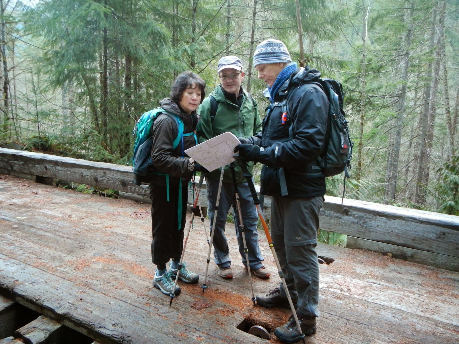
Alice, John and Rexplorer checking the map but find no marking for this bridge.
We have come to the end of the National Forest Road and entering Olympic National Park. The Park is mostly surrounded by Forest Roads. To enter the Forest and the Park, one must have an official Pass.
To the right of this sign is the start of the Lake Constance Route. The 2-mile trail looks very narrow and seems pretty wild and difficult. The two lady bikers have obviously gone on this trail, leaving their bikes and bags unattended.
The three hikers are dwarfed by this huge chunk of moss-covered rock.
Another detour below this rock wall, probably from a landslide.
We have gained some altitude, and the river is rocky and fast. Rexplorer, Alice and John stop to admire the beautiful scenery.
CC does a coolie squat by the waterfall. From here, we should be close to the campground.
Finally, we find the campground Muscott Flat, named after prospector Dr. Muscott who was, one day, low on the ground looking at something, wearing a tan color jacket and was mistaken for a cougar and shot to death. We unpack and eat our sandwiches, crackers, apples, tangerines, chocolate chip cookies with frozen and shaky hands. CC has brought extra toe warmers and Alice applies to her feet for the return trip. Notice Rexplorer has put on his big fuzzy hat to ward off the chill.
The best part of finding the campground is locating this luxurious restroom facility complete with total privacy. It is used by all of us before we embark on the trail again.
After a number of "Are we there yet?" we reach our car. The sky is turning somewhat darker and it's a good time to finish the hike. Happy John and Alice.
A big cheer for finishing the hike. The total distance is just over 9 miles, and the time for the hike is 5.5 hours. We are able to make pretty good time since the trail is relatively flat, reaching a height of 1540 ft. only. Despite the cold, the painful hips, and sore toes, we all agree it is a great hike!


