Tuesday, January 27, 2015

XTerra Reopened

With the approach of XTerra Race, many of the overgrown trails have been cleared, ready for the race. This is good news for hikers, as the bike trails are also great hiking trails. A few weeks ago, we hike down XTerra trail, having to fight through the tall growths of sword grass and fallen branches. It's fun, but we get some scratches on the legs and arms. This Sunday, the trail has been cleared, so we decide to take advantage of it and take another hike to the Hidden Beach. We also welcome Thor and Sparky back from their long absence. At 6:15 a.m. when the sky is still barely light enough, we wait for a few more minutes to start down the shaded trail.

At the crest of the steep drop-off, coastal sight of KingFisher Golf Course comes into view. CB, Scout, Sparky, and Thor have to decide whether to take the plunge down the steep drop short-cut on the left, or take the more gentle longer-cut on the right.

CB and Scout carefully negotiate this slippery detour slope. We are surprised that the slope is not as muddy as we have expected from all the recent rainfalls. 

Rexplorer stops to adjust Thor's hiking pole. 

Rexplorer and Thor walking down the trail. It is obvious that the cane grass that have been cut can grow back very easily during rainy season.

A cry of warning from Aaron telling everyone to be careful with the slippery moss covered rocks. Making sure that we heed his warning, Aaron stands guard and watches us. The trail has been washed out even more with the recent rain, so we have to tread carefully.

A strange tree on the trail, with several new branches growing straight up from the trunk. 

Coffee flowers?

At the base of the trail, this little farm with a harmonious group of ducks and deer sharing the pen. 

Snack mostly eaten, time for a group photo. Aaron showing his tongue, Scout, PTShelley, Thor, CB, Sparky, CC, Rexplorer.

Water is calm today. We get ready to pack up and return uphill all the way to the cars.

Aaron, Sparky, and Thor on the way back from Hidden Beach.

This 3.8 mile hike has been a pleasant one. 


Tuesday, January 20, 2015

Farewell to Spicegirl

For Spicegirl's pre-trip hike, she suggests a short trip down Kimikaze trail, as she has to go home and pack. We agree that we are ready for an easy and short hike. On Sunday, we meet at the trail head of Kimikaze. The sky is still fairly dark, we wait for the hiker-of-honor and Scout to find their way to the trail head. Joining us is Peppy-Devine, CB, Rexplorer, CC, and dog Boy. 

The beginning of the trail is overgrown with tall grass. But that lasts only for about forty feet. After we "plow" through the thick growth, the trail opens up. Under the cover of trees and branches, the trail is well shaded. CB, Rexplorer, Spicegirl and Peppy are ready to continue.

Happy Spicegirl enjoying the beauty of Saipan before moving to the big city where no such boonies are so handily available for hiking.

Looking like Adam and Eve confronted by the serpent for the tree of knowledge. Spicegirl and Scout pose in their matching hiking outfit. Where is the apple?

At the end of Kimikaze trail, we cross the road to the AutoBaun trail. Boy meets two dogs from another walker.

The remains of a chicken on the trail. Even in death, the chicken is able to display the beautiful feathers.

Having finished the first half of the AutoBaun trail, we stop at the Bird Island Beach trail head to have our snack break. The little concrete block serves as the table. Peppy, Spicegirl, and Scout checking out the snacks. 

CB doing her Huki-Hukilau. Peppy enjoys the show, Spicegirl and Rexplorer wonder what is the occasion, and Scout busies with his phone.

WHICH ONE IS CB??

We have a choice to either continue onto the second half of AutoBaun; or turn around and retrace the first part of the trail to go back on Kimikaze; or walk to the main road, then up Kimikaze. Since the time is limited and we don't want to rush, we choose the third option. Soon we are on the main road and back up the Kimikaze trail.

This bucolic surrounding is everyone's choice for a group photo with Rexplorer, CC, Peppy, Scout, Spicegirl, and CB. We hope Spicegirl will remember the fun times we have had in all her hiking experiences on Saipan. 

Spicegirl takes this picture of CC, Rexplorer, and Peppy, in the fern gully.

As planned, our hike is a short 2.48 miles, with minimum calories burned. It is, however, a very pleasant hike. Kimikaze trail is a little slippery from all the recent rain, and it is a bit overgrown, but still very accessible and enjoyable. 


Wednesday, January 14, 2015

Obyan Beach

Obyan Beach has always been one of our favorite destinations. Despite a very challenging Naftan road full of rugged potholes just to reach either the beach or the trail, we hike the upper and lower Naftan trails often, discovering many interesting sights. For this Sunday, we plan to spend our snack time at our friend's beach front lot at Obyan. We meet at Hawaiian Rock parking. The sky is still dark even at 6:15 a.m. Gather at the starting line are RedEye, Cutie, CB, Rexplorer, CC, with Spicegirl, Scout introducing two new hikers, Milan, Olivia and their dog Lily. Last but not least, our hiking dog Boy.  

With daylight slowly arriving at the eastern sky, we begin our trek, Cutie, Scout, Olivia, and Milan following the others onto the still dark trail. 

Part way down the trail, we take a side detour to the left, winding our way toward the ocean.  After three quarter of a mile, we arrive at this open rocky field. RedEye rests his feet, Rexplorer, Milan, Scout, Cutie, and CB look around at the ground.

The ground here is strewn with broken metal shards, and the rock wall has an impressive split  that slopes down at a precarious angle down into the crashing waves. CB really wants to go down the slope to check out a "cave", but it is too dangerous to risk her life.

Olivia, dog Lily, Milan, Rexplorer, Scout, and Boy join CB to admire the view.

The sun finally rises above the clouds.

Cutie and RedEye rest before we resume our hike back to the upper trail.

From the upper trail, we cross over down to the lower trail. Lily and Boy have fun chasing each other. From the lower trail, we turn north to the Obyan Road, then the Obyan-Ladder road and  finally the beach front property.

We find the beach front, and the palapala, where everyone finds something to do and see, while CB and Cutie set up our snacks. 

Rexplorer and Spicegirl survey the land, while CB is busy cutting fruitcake. Scout and RedEye wait for the snacks, Olivia and Milan take care of Lily and Boy. This is the first time we have the luxury of having a table to set up our snacks. We feel almost spoiled. 

We take our group photo before Rexplorer leaves early: Spicegirl, Boy, CC, Rexplorer, Scout, CB, Cutie, Olivia, Lily, Milan, and RedEye.

Sated with snacks, we walk down to enjoy the totally quiet beach.  RedEye scanning the horizon and Cutie taking photos.

Milan takes a stroll into the water to test the depth. 

Taking our time to relax on this tranquil beach, with no one else around. CB, Olivia, and Spicegirl lounge around, Cutie watches RedEye playing with the sand, while Milan contemplates taking a swim. He takes a swim and comes back with report of many fish and things of interest in the water. Times like this, we really appreciate the beauty of Saipan's beaches. Reluctantly we pack up our goodies, clean up the palapala, say goodbye to the guard dog, and retrace our steps back to the lower trail, cross over to the upper trail, and back to our cars.

We hike a respectable 5.5 miles in a little over three and a half hours, inclusive of the time we snack and lounge around the beach. It is an easy level hike, well shaded, and it has been cool and breezy, and very pleasant.


Tuesday, January 6, 2015

Mt. Tapochau

What better way to welcome the new year than to get to the highest point of the island and enjoy a 360 degrees vista? That is exactly what we plan to do for our Sunday hike. While some of us park at the Koa Lane, some park just outside of Coral Isle Condominium. Nine hikers begin an open air walk upward. This hike offers no boonies, no muddy trails, no shade. Fortunately, the sky is clear but not sunny, and the breeze is strong.

Part way up the road, we meet a group of tourists, a little lost in their search for the early morning sunrise. They have turned around before reaching the top, not being able to get a clear view, most probably for having trouble driving on the very rough road. We offer advice on where to park for a better view. 

Giggles and Rexplorer coming up to a section of the road in really bad condition. Tapachau Road has been unpaved and rough for a long time. The condition has definitely been exacerbated by the recent increases in rain storms.

Curious cats Chops and CB checking out an abandoned house. RedEye gets ready to join them.

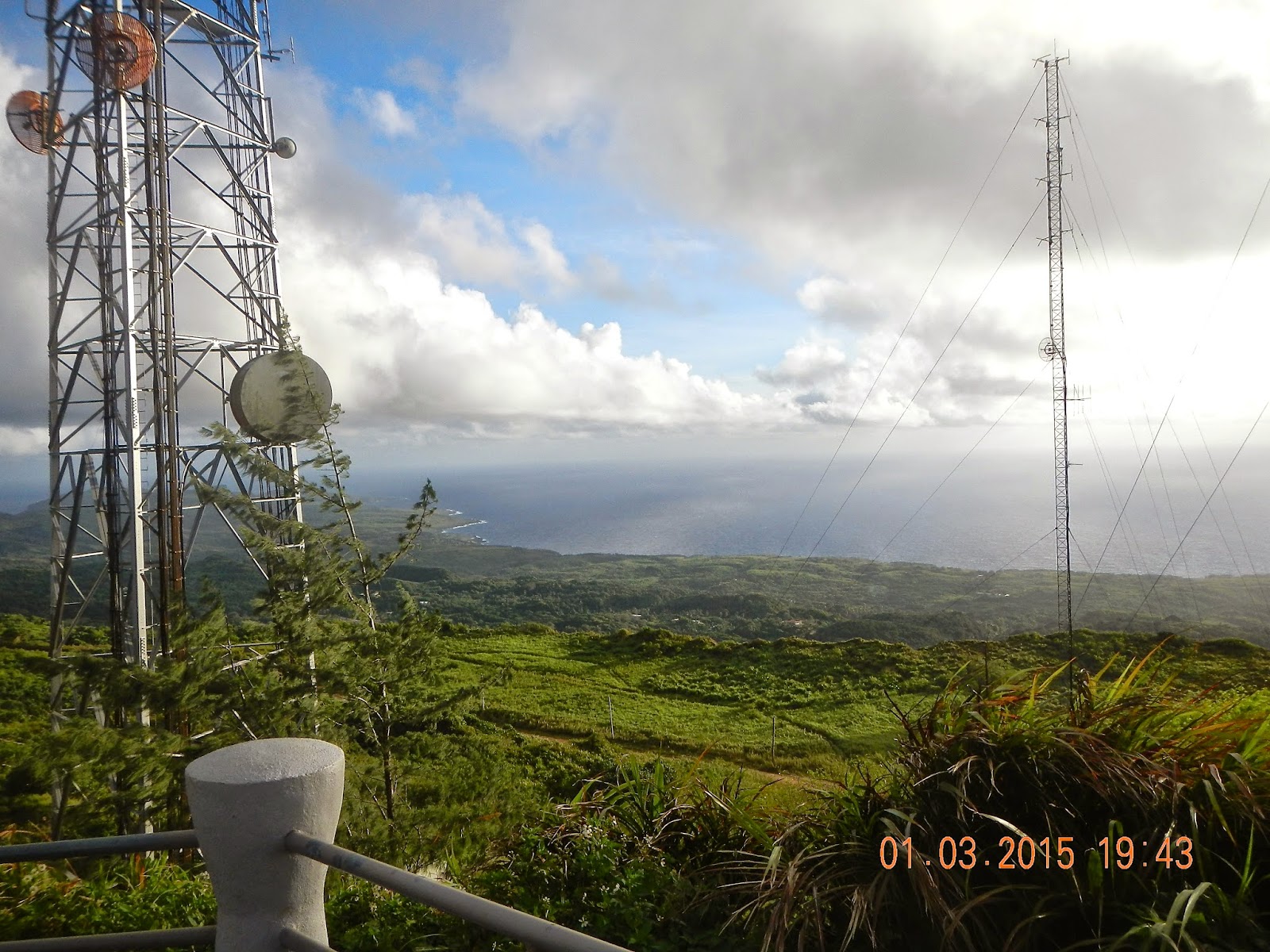
Near the top of the mountain, looking northeast.  

At the top of Mt. Tapochau, 1554 Ft. high, looking at the western lagoon, with five prepositioning ships floating just outside of the reef.

A broad view of Susupe and Chalan Kanoa, and the ribbon of reef circling the lagoon. 

Sabana meadows and boonies, with southwestern island beyond, and Tinian in the distance.

Southeast view of Laulau Bay and the airport runway, and Naftan Point, where many of our hikes have taken us to interesting discoveries and adventures.

Settling down for a relaxed rest and snacks. CB, Rexplorer, Cutie, Chops, Ayaka, Alice around the "table", RedEye and Giggles on the ground. Jesus statue in the background.

Looking at east coast, north of Kagman. 

Chops offers a cracker to CB with a well-versed "prayer".

Celebrating her birthday Giggles brought her own birthday cake! Four carrots mark the cake (does that represent forty years?? :-) Alice gives a helping hand, while Chops makes sure the cake is cut properly. Notice the woman in the background? Remember the group of tourists who have missed the sunrise? Apparently they have decided to leave the car and to hike all the way up to the top to enjoy the view. 
  
What a cute group of happy hikers! It is a great way to begin our hiking journey for 2015. Cutie, CB, Alice, Ayaka, Chops, Rexplorer, Giggles, CC, and RedEye.

On the way down, a final view of Garapan and the beautiful lagoon with some unusual choppy waves.

A sad reminder that all is not well in road maintenance. 

The hike from Koa Lane to the top of the 1554 ft. summit is only 3.3 miles. It takes us 2 hr. 40 minutes, including the rest stop at the top.