Tuesday, October 15, 2013

Tubal Cain Mine, Washinton

10/13/13: The temperature seems nice and warm, so we decide to take a hike up to the Tubal Cain Mine to check out the caves. We start a bit late, getting our stuff ready, picking up a couple of sandwiches at Safeway, and getting on Hwy 101 toward Sequim. What we have not counted on is that after leaving the highway, the long drive of almost 15 miles to the trail head on the pot-holed forest roads takes more than an hour. After crossing the Dungeness River, we arrive at the trail head parking just after noon. 
As soon as we step out of the car, we put on added layers of clothing as the chilling cold air welcomes us. This trail is mainly in the shade and we realize that we won't have much of a chance to warm up in the sun. CC's toes and fingers are cold immediately. 

Crossing Silver Creek on a log bridge. Rexplorer wears a bright orange vest for high visibility. The Fish and Game officer has informed us that hunting season has begun yesterday, and it is advisable to wear orange vest to avoid being mistaken for a bear or deer and get shot.

After entering the Buckhorn Wilderness, we begin an easy walk into the dense forest. The temperature remains cold, cold, cold, and we can see our breath. There are so many mushrooms of different sizes and colors. We have to be selective in stopping to look and take photos.

The trail is on the eastern side of a big canyon, and remains in the shadow and shade of big trees. We walk past moss draping branches, like waterfalls.

Help! My hands are frozen!

Finally finding a sunny spot, we stop for some snack and rest. CC holding up the tree with her frozen fingers, and standing on frozen and unfeeling toes. Despite the sunny looking trail, we are mostly in the shadow, watching our own breath.

They look like two pieces of liver.

One of several creeks we have to cross

Cup shape mushroom holding morning's rain water, nestling in a bed of mossy undergrowth.

After three miles, we come across this abandoned copper mining cave. These caves are not for entering and exploring. We bring flashlight to look only. 

A singing brook along the trail.

A steep rocky slope leads to the Tubal Cain Mine. Rexplorer on his way to the site.

Another hiker couple follow Rexplorer up to the cave on the left. 

The mine shaft is actually under water and no one is supposed to enter it. Tubal Cain Mine is actually privately owned. Rexplorer waits for his turn.

Interior of the mine shaft. It goes on for a long distance. 
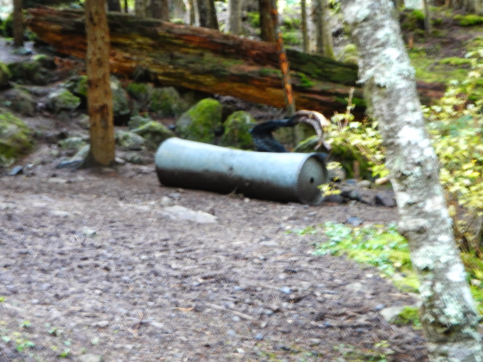
Leftover item from the mining operation, near the camp ground.

On our way back, we take a short hike up on the trail to Toll Canyon, a steep climb. This is another abandoned mine shaft.
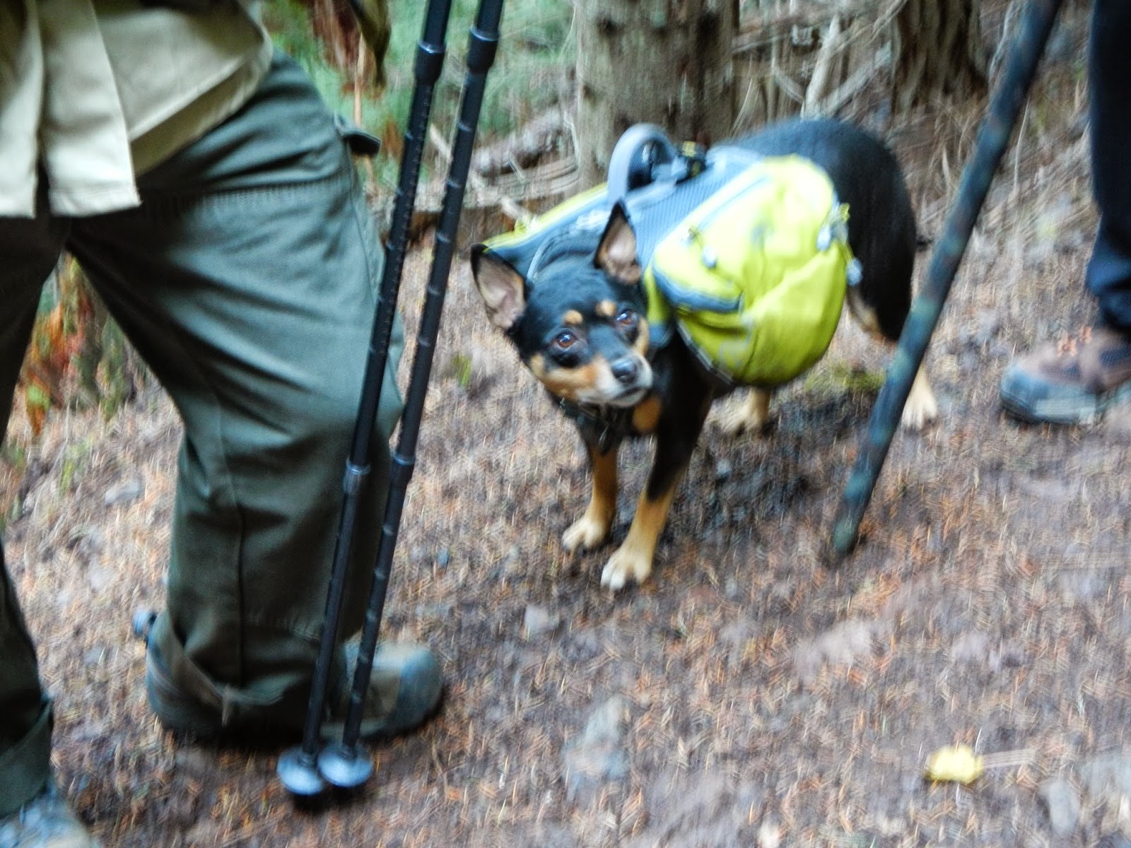
We meet two hikers from Olympia, and their dog who carries his own water, water dish and food. We find out that the hike up is very steep and difficult. With limited daylight, we decide to save this part of the hike for a future adventure.

On the long trek back to the car, we meet two gun-toting hunters. They are pleased that we have bright color coverings - Rexplorer has his orange vest, and CC has a neon yellow Camelback cover - as they explains that if we didn't have the high visibility covering. our black jackets could be mistaken for black bears, even when we are walking on a trail.  We are quite surprised to hear that, but glad to have taken the precaution.  We are near the end of our trip back to the parking. By now, the sun is almost down and the air is bitterly cold. We jump in the car and turn on the heat. Although we have been able to hike in the park, we have finally found out the effect of the Federal government shutdown. On our way past the next trail head, we stop to use the bathroom, only to find a notice on the door that it is closed due to the shutdown. Fortunately we are able to drive another ten miles to the nearest native American owned grocery store that has an excellent restroom. 


Monday, October 7, 2013

Mt. Townsend in Washington

The weather in Port Townsend area has been mostly cloudy, rainy, and cold. When we find out that Sunday, the 6th, will be a sunny day, we decide to tackle the level 4 (out of 5) hike up to Mt. Townsend, a 6,500 ft. mountain that overlooks Seattle, Bainbrdige, Kitsap, Jefferson counties, Port Townsend to Sequim. We pick up Alice and John at 8 a.m. (one of the pluses hiking in the cool weather, when we don't have to start at 6 a.m.!) Loaded with snacks, sandwiches, water and warm clothes, we drive one hour on Hwy 101, to Lords Lake Loop Rd, then on gravel road 28, and 2820 to the trail head parking. We are the only car in the lot, but soon another car arrives with two hikers who take off right away.

We are in no big hurry. John is checking out the pole lengths to make sure they're just right for Alice to be ready for the uphill climb.

It is mushroom season, and we see lots of different types. This one has the size, shape and color of a hamburger bun. Just don't eat it!

The narrow trail goes deep into the pine forest that gives out a strong pine scent. Occasionally we can see through the trees into the distance mountains.

Here is a couple of "potato" mushrooms.

Lots of excitement as we spot this little patch of snow. We know we will be hiking in the first snow of the season. Recent cold weather has brought an unseasonably early snowfall. 

This large white mushroom could be the valuable (expensive) mushroom, but we are not going to try it.

Snow on the trail. We will soon be trudging through thicker snow on the ground. Notice Alice and John are both in short sleeves, as the temperature is very pleasant at this point. 

Nearing two hours, we find a sunny spot with a log on the trail, perfect for a snack break. Boiled eggs, apple slices, crackers, Japanese rice crackers make us happy again. We continue our hike. 

We have reached above tree lines, and the view opens to this grand vista of the snow capped Olympic mountains. John and Rexplorer pose for this photo near the very edge of the cliff. They fail to convince Alice and CC to try the same.

Buckhorn Mountains.


Nearing the top, as we turn this corner we are able to see the Townsend peak. The sun is still out and keeping us warm.

The cold wind whips up no sooner than our arrival to the peak. We go over to the leeward side for our lunch break. Rexplorer puts on his "raccoon" hat, feeling warm and snugly. John enjoys the view. From this spot, we can see all the way down to the towns, the bridge, and both Mt. Rainier and Mt. Baker. Except for a slightly hazy air, the view is quite spectacular.

Sated with food, CC takes a little rest.

Likewise, Alice takes a little nap, while John checks out the view down below. 

The ground is snow covered, but not too deeply. The wind is wickedly cold here. We bundle up.

John and Rexplorer standing on the very top ledge of Mt. Townsend.

CC and Alice on top of the mountain, feeling pretty good about the accomplishment. 

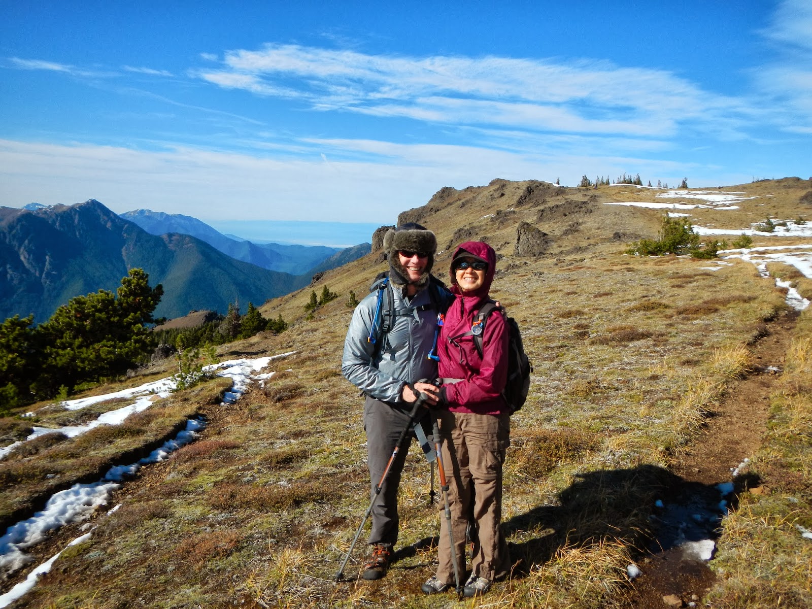
With the wind whipping, Rexplorer and CC put on the windbreakers and cover their heads, for a photo op before heading back down the mountain.

John and Alice brave the wind. The sky is so clear and blue, and the air so fresh. We see a few other people and dogs taking advantage of this beautiful day for a great hike.

Two stunning looking red mushrooms stand out even more in the white snow. 

There are so many mushroom, large and small, that this is one of the more unusual one with a flower growing out of the cup shape stem.

Finally, this group of little mushrooms calls for attention.

As we approach the end of the hike, we pass through this forest of dead trees and fallen trunks. This hike begins at around 4000 ft, takes 3.5 hours up and 2.5 hours down, at our leisurely pace. It is thoroughly enjoyable. 


Sunday, September 22, 2013

Cave Beyond the Crack

With howling winds, torrential rain, floods, power outage, and generally a stormy day on Saturday, we are not sure whether we will be able to hike on Sunday. At five a.m. Sunday morning, the weather looks reasonably calm. At six a.m. Dora, Bruiser, Jane and CC meet at the Flame Tree parking lot. After waiting for a while, we get in one car and head to the big banyan tree in Marpi. The trail to the Crack has been overtaken by a field of waist high bushes, and the trail head marker is nowhere to be seen. We know where we need to go, so we plunge in to make our own trail. Aware that there is a large patch of mother-in-law's-tongue that we need to circumvent, we push through the bushes, vines and some trees until we come upon a few ribbons, and locate the tongue patch. Our two trail markers are the pottery-barn, and the barbed wire fence.

At the pottery-barn, we notice more pottery pieces have been unearthed and scattered. Jane sees a capped beer/sake bottle that has an insignia on the cap. She takes a closeup photo for reference.

Some of the blue-and-white pottery pieces that appear to have been used for some sort of "party". From here we veer toward the fence, climb up until we reach the base of the cliff. A short distance later, we are at the entrance to the "Crack".

Dora at the entrance. Here the width of the crack is still fairly wide. The cliffs on both sides rise up to about 100 ft. (guesstimate).

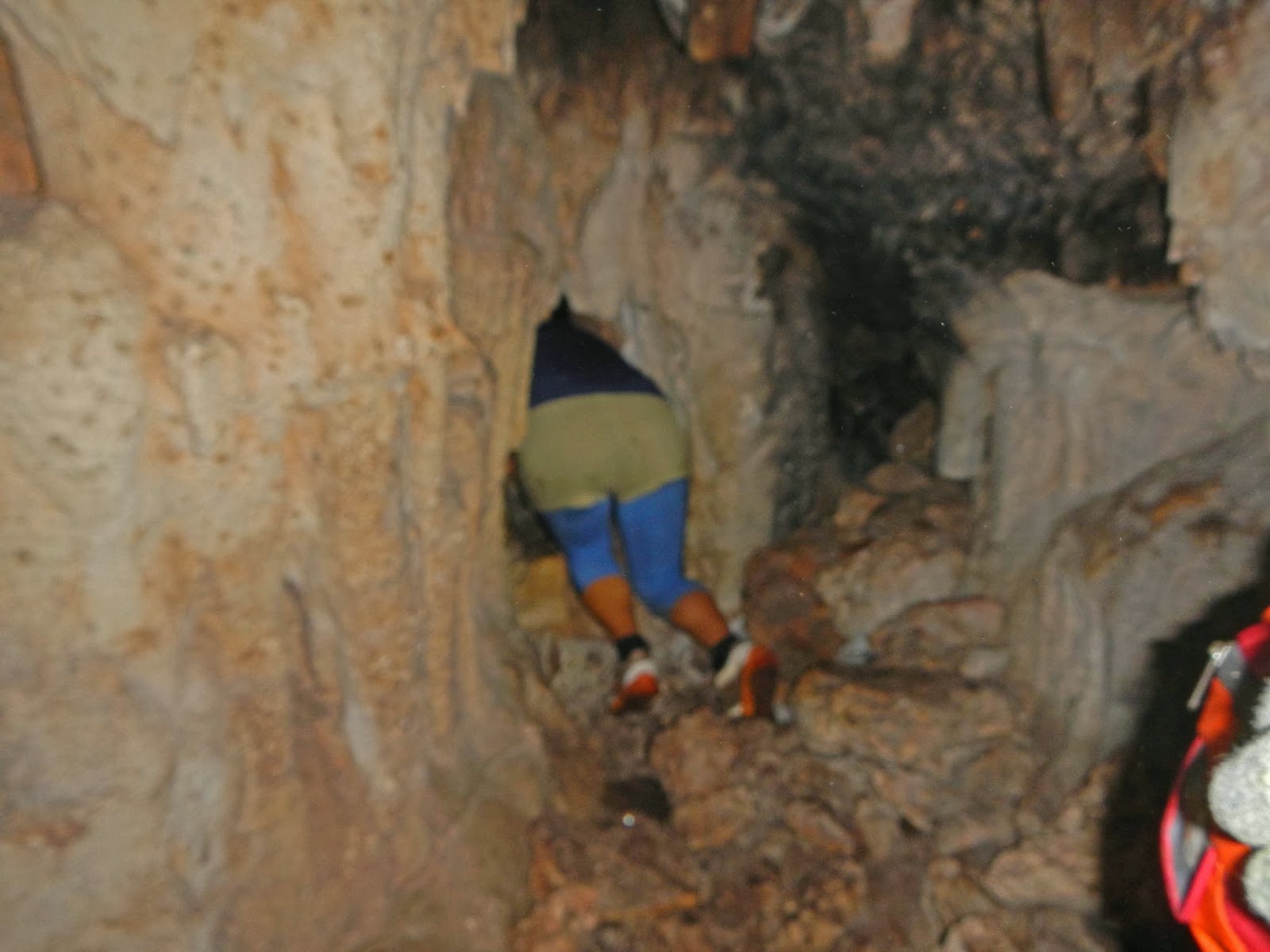
Here the width of the crack narrows, soon one needs to turn side way and crouch to step down to a lower level. Notice the boulder that is lodged just above Bruiser's head.

After exiting the crack, we continue up the side of the cliff and climb up a very steep slope of slippery rocks for our next adventure. Jane and Bruiser lead the way.

Dora pauses on the cliff edge to take a photo of CC, who takes a photo of Dora. Soon we reach below a cave-like opening. Bruiser and Jane think it is one of those shallow caves for a quick look-see.

As we climb up to the opening of the cave, it is apparent that the cave is a deep one. This is actually our destination. Bruiser works his way down the rocky floor, while Jane stops to take pictures of the war relics on display on top of a rock.

An assortment of found items on display, including shoe soles, containers, bottles, and an iron rod. Further into the cave, we squeeze ourselves into a lower chamber. There is a small opening that leads to an even lower chamber. 

Jane crawls to the small opening to see the lower chamber. She ooohs and aaaahs with lots of amazement at what she sees.

Bruiser, with broad shoulders, finds himself a bit limited to how far he can squeeze into the tunnel and the opening for a look at what all the oooohs and aaaahs are about. Dora, being the small one, volunteers to crawl in further through the opening to take pictures of the lower chamber. CC hands over the camera, and in goes Dora.

The lower chamber has a flat floor and a lot of statues-like stalactites. 

A deeper look, further into the chamber, showing the stalactites separating the chamber into smaller areas. 

To the right of the chamber is this deep drop into another cave. 

Dora is leaning so far out through the opening that Jane decides to hold on to her ankles to prevent any accident. 

Dora comes back to us from her photo assignment.

Bruiser and Jane exiting the cave.

We are ready for our snacks outside the cave, before we climb down the cliff. Jane has the executive seat to enjoy the snack and a little rest.

Back down the cliff, using either the butt-walk/slide style, or the reverse step-down style. 

On our way back down the cliff, Dora decides to gather some rich soil for her plants.

Going through the crack again, Jane decides to video tape Bruiser. Here she is under the hanging boulder. Notice the dirt stain on her shorts, evidence that she is the butt-slider. 

Back to the entrance of the crack, for a group photo of Jane, CC, Dora, and Bruiser.

The weather turns out beautifully, with gentle breeze, occasional sun peeking through, and cool air. We proclaim this hike a definite five-sneakers!