Tuesday, February 11, 2014

B29 - Oba Trail

A much anticipated hike finally arrives on Sunday, February 9.  The B29 plane has been on our radar for a long time. as we have heard about it, seen in on YouTubes, planned and failed to make it happen so many times. Recently, Handy informs us that a trail has been opened from the downed plane all the way to the top of the Oba Cave trail where we can exit. Notices go out to the hikers to join this exciting hike. At 6:30 Sunday morning, we find 12 of us ready for the challenge. The catch for this hike is, most of us have never seen the plane, and those of who have, cannot remember where the trail head is. No matter, we are ready.


Gathered just outside of the Coral Isle Condo are Lee, Cutie, Thor, Rexplorer, Ewok, Sparky, Giggles, Dora, Marcia, Handy, Cowboy, and Capt. Charlie, ready for the adventure. 

Leaving Tapochau Road and going down The Navy Hill Road where part of the road has collapsed, exposing pipes and jagged concrete.  From here we go down to the first telephone pole where the Lamar trail begins.

Part of the Lamar trail. Cutie ahead, and Dora brings up the rear. Here the trail is pretty easy walking.

From the trail, we can get a glimpse of the Russian housing compound. The scaffolding between the two units is to build up the retaining wall that has collapsed during the rainy season.

Taking a brief rest on the trail are Marcia, Sparky, Cowboy, Cutie, Dora, Thor and Rexplorer. So far the trail has been fairly easy and the air is cool.

At the top of the trail is an open view of the lagoon and the pre-positioning ships. It is a glorious day for a hike. 

Looking for the trail to the plane, we walk through a well-maintained orchard of fruit trees and many pineapple bushes. We are actually not sure if we are heading to the right trail head, but the orchard is pleasantly interesting. So far we are hopeful to find the trail head around this area. Ewok bringing up the rear.

All the pineapple bushes are in good shape except this one favored by a group of snails, enjoying the fruit. After walking to the edge of the orchard, we realize that we are not on the right track. We turn back on Captive Way, where fortunately we run into Kimiko and friends biking toward the Lamar trail. She sends us back to the Lamar trail where the turn-off to the B29 trail is. We re-group and go back down the trail. Almost to the beginning of Lamar trail is where we find the turn-off to the B29 trail.

A nice lineup of hikers taking a pause on the B29 Trail. Thor and Sparky in the lead, Cutie, Thor, Handy and Lee follow.

A whole family of mushrooms.

Just as we emerge from a thicket of trees and bushes, we come upon the first piece of the B29, the fuselage! According our own knowledgeable Ewok, B29 is called the "Superfortress" for its numerous gun turrets. The "B" stands for Boeing. It is the first plane to be pressurized to allow the plane to fly over 14,000 feet high without having to use oxygen tank for the crew. 

We group around the fuselage. Ewok is not sure exactly what part of the plane it is from, except part of it could be the landing gear. CC in front, with Dora, Giggles, Lee, Ewok, Sparky, Cowboy, Cutie, Thor, Handy, and Marcia. Rexplorer is the photographer. The 69,610 Lb. plane has 4 engines of 2,200 horsepower each, a real monster of a plane!

One of the four engines. The plane crashed in 1945 during stormy weather, instruments malfunction, and bad visibility. Unfortunately, of the 10 crew, none survived. Nothing at the site should be removed.

Marcia, Giggles, Rexplorer checking out this engine with two blades bent out of shape. Ewok trying to take photos. One can imagine the impact this crash had, and what happened to the crew.

This engine still has a set of intact propellers.

Further down the trail is this engine with 18 cylinders arranged in two rows. In 1945, these are the most powerful engines made, and the plane can fly almost 6000 miles non stop. Marcia examines the cylinders closely.

Dora, Cowboy, Sparky, Handy making sure that the two rows of cylinders are all there.
Here is an old photo of a working B29.

From the plane site, we decide to continue on the trail as originally planned. We run into a section of very wet and muddy slopes. After hearing several people's obvious slip-and-slide, butt-walk seems like the right thing to do. Handy goes first, Cutie follows. 

Further down, the trail turns into mush. Sparky and Giggles hug close to the grassy edge for better footing. Here the gloves are most useful in grabbing the sword grass for balance.

 Marcia, Handy, CC, Thor, and Cutie proudly display their muddy butts for the photo op. 

After the muddy mess, the trail becomes more difficult with steep drop offs on moss covered rocks and boulders. One person at a time to negotiate carefully without falling and getting hurt.

Cowboy assisting Sparky down a rocky drop. Handy and Giggles waiting for their turn.

Handy takes a fall, and hauls himself up while Cowboy and Giggles watch and ready to assist. The jungle has a lot of vines on the ground that can catch and trip us. 

Across from the trail, we spot a cave. Rexplorer decides to check it out. Dora soon joins him. They continue on the other side of the ravine and declare later that they have found some very interesting caves and rock walls, all for future explorations. Soon we find that our trail merges with the Oba cave trail. We continue on the Oba trail and come to the upper field just off of the Navy Hill Road.

The giant bamboo forest is the sign that the end of the trail is near. After exiting the trail, we continue on the coral portion of the Navy Hill Road. It is now noon time, and it is hot all the way uphill back to the car.

From 6:30 to 12 noon, this has been one of the longest hikes, and one of the more difficult as well. 

Sunday, February 2, 2014

CowTown

Finally, we are able to take our Sunday hike today, the sun having come out since Thursday. We decide to resume the same hike that was foiled last Sunday. The flat and relatively short Cowtown trail is a good way to resume our Sunday routine. At 6:30 a.m., Handy (sometimes aka "SoWhat"), Cutie, Thor, Sparky, Shelley, Lee, and CC meet at the Last Command Post. Everyone is happy to be together again for an easy hike so we can talk and catch up. We start on the road to Bonzai Cliff. 

Cattle is seen lounging in the field. We have walked past this field many times and have wondered whether it would be a ranch or a development.

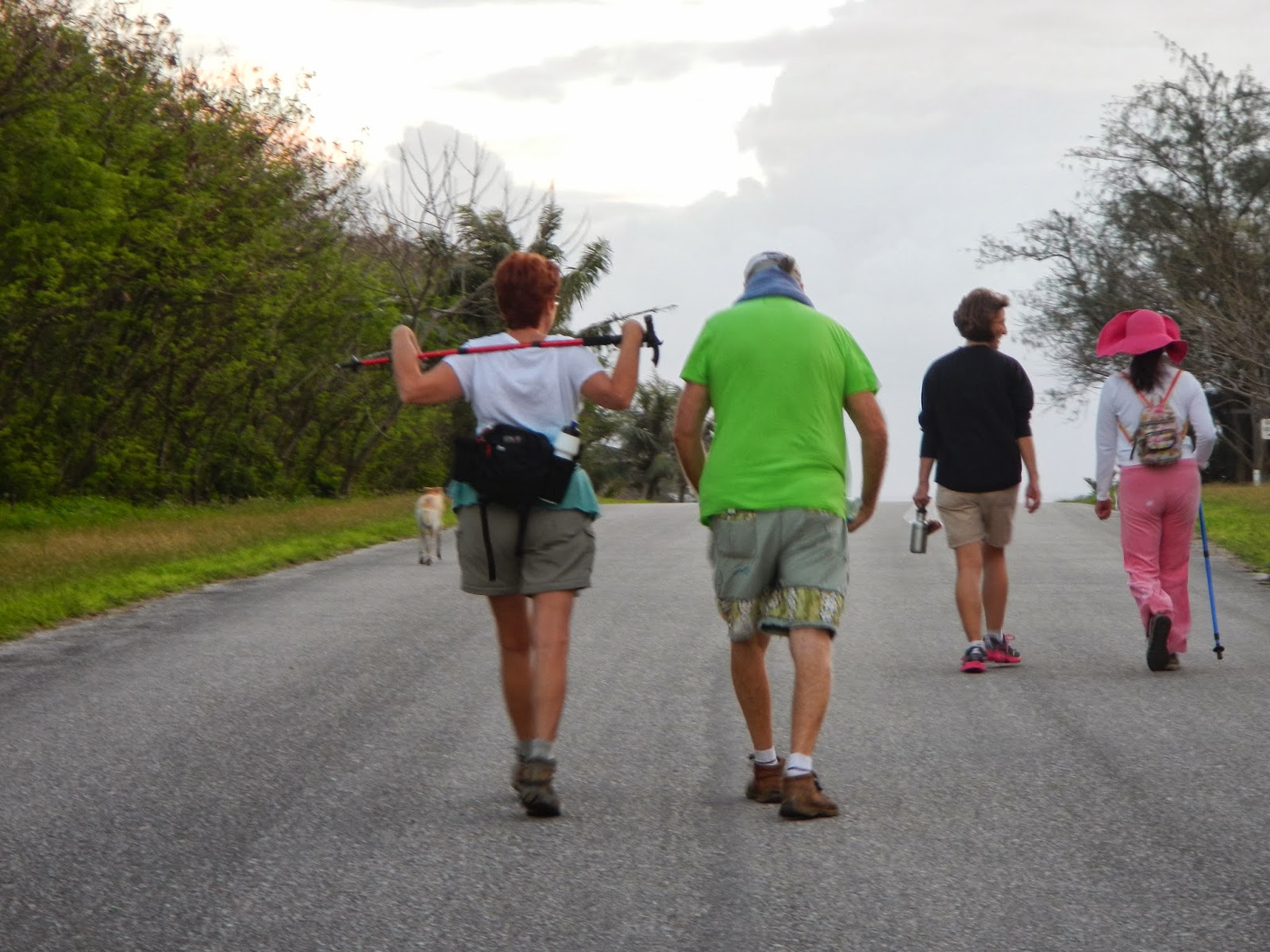
New hiker Winnie with her mistress Shelley, and Lee decides to walk backward for a spell, while Cutie is all serious in her strides. The morning is quite windy, and the overcast sky keeps us cool as we continue toward Bonzai Cliff.

Thor forgoes her walking stick as she busily chatting with Handy.

On the trail to Cowtown Beach.

An eerie setting of the abandoned barracks along the trail. Thor is at the end of the hallway.

Thor, Lee, and Handy have gone through the building and are now making their way out. They are probably disappointed not having discovered anything more interesting.

Lee squeezes the liquid from a flower bud, claiming it is better than commercial eye drops. At this point, no one else in the group is ready to try it just yet. 

As expected, when we reach the Cowtown Beach, the surfs are roaring sky high. The recent rain storms, although cleared, keep the surfs strong.

The recent relentless rain and high surfs have changed the landscape. There is more sand on this beach. Lee is gingerly stepping around on the jagged rocks. 

A partial rainbow over the horizon.

Lee, Handy, and Thor examining the tide pools, while Sparky is headed back from the bunker. Although there is much to see in these tide pools, the sprays from the surfs can catch us unexpectedly. 

A beautiful blue jelly fish in the tide pool. There has been recent jelly fish warnings. Several other tide pools also have these pretty but nasty critters.

Winnie is a good hiker, and behaves quite well. 

Thor, Sparky, Lee, Shelley, CC, Cutie, and Handy, Winnie has the best deal here.

On the way back, to avoid the main road, we turn onto the old airfield. The old airfield is a better trail than the main road. Toward the end of the trail, this large bee hive is impressive, but no bees.

Back on the main road, Sparky and Lee are both busy checking out the grass, while Cutie and Handy hurry back to the car park.

Last but not least, Thor and Shelley exit the trail.

This has been a fairly leisurely hike, and everyone enjoys it. We agree we will tackle a more challenging hike next Sunday.


Sunday, January 19, 2014

Dosewallips River Trail, Washington

It would seem a shame not to take a hiking trip, even in the dead of winter. With our usual enthusiasm, we plan to hike the Dosewallips trail in eastern Olympics. The original road to the Dosewallips campground and some trailheads has been washed out in a storm in 2001, so a nearly five-mile road to the campground is only accessible by foot, hence a nice hiking trail is born. On Friday, January 17, four of us: Rexplorer, John, Alice, and CC drive over one hour to the washed out road where we park to begin the hike on the detour route that will reconnect to the road. 

The detour begins with a sharp uphill climb. Alice, with her new REI backpack, keeps a strong and fast clip.

Alice, John, Rexplorer take a brief stop by the river. Here, the river is fairly wide and "gentle". The temperature is low and our fingers are starting to freeze.

Rexplorer and John pause at the detour for a good view of the river.

Still on the detour. From here, one can see the fog ahead and how cold it is.

Reconnect to the previously drivable National Forest Road. Our smiles are frozen to our faces. This road, speed limit 25, used to be full of cars, RVs and campers. Now it is quiet with only hikers and bikers.

Two bikers have just pushed their bikes over the detour, and are now ready to ride on the road. 

So many trees are completely covered with moss, creating some very strange looking figures.

One of the downed trees blocking the road. Since no car travels on the road, the fallen trees and branches are left alone, adding interesting variety to the hike. This tree is one of the biggest  that has fallen during the storm.

After the road washout, the Campground and Trailheads are no longer accessible by car. The question is whether to rebuild the road for campers and hikers easy access, or just leave it as it is so hikers and campers will have to hike in the extra distance to reach the campground, and also allow the campground to be properly maintained. Pro and Con groups argue the case quite heatedly. Although eventually money is set aside to rebuild, ribbons are everywhere on the detour trail marking the new road, but so far, after 12 years, no action is in sight.

Rexplorer tries to grow an instant beard.

Stopping at a picnic site by the river to eat some snacks and take a drink.

One of the very sturdy bridges built by the timber company around 1913. Lumber is no longer in business in this area.

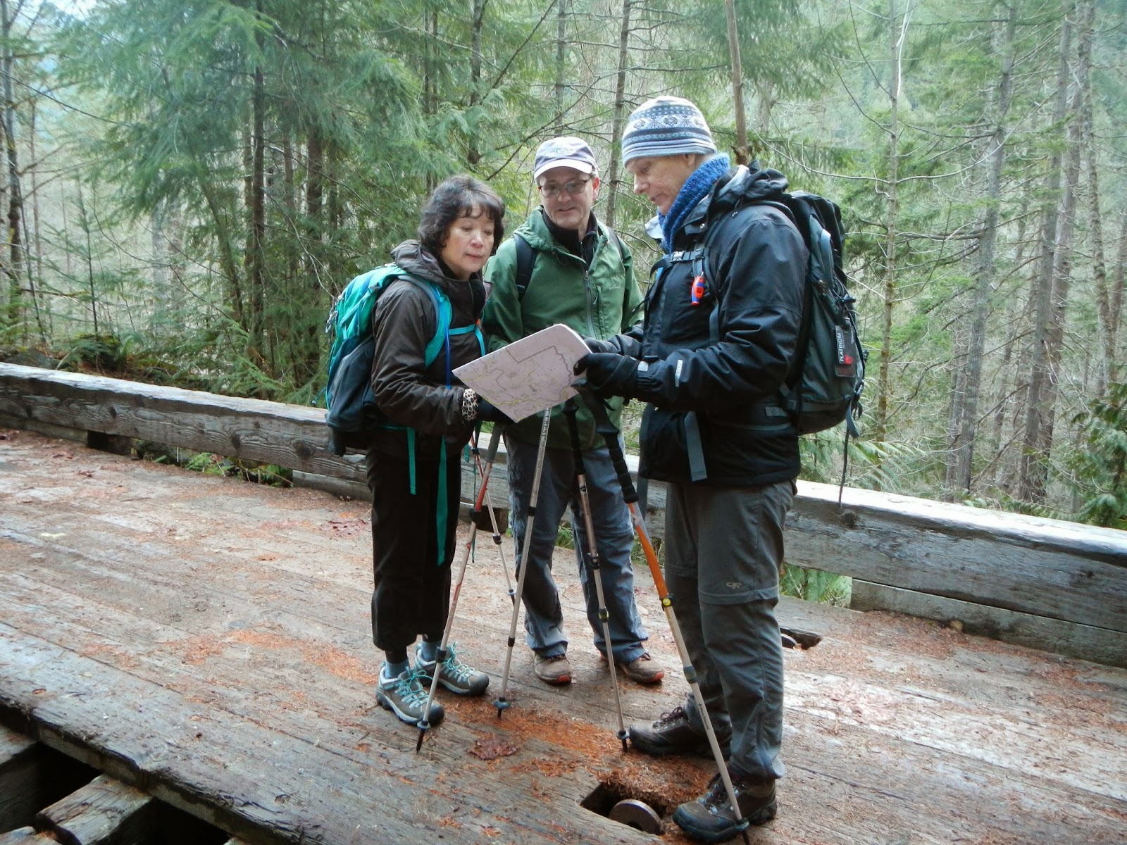
Alice, John and Rexplorer checking the map but find no marking for this bridge.

We have come to the end of the National Forest Road and entering Olympic National Park. The Park is mostly surrounded by Forest Roads. To enter the Forest and the Park, one must have an official Pass.

To the right of this sign is the start of the Lake Constance Route. The 2-mile trail looks very narrow and seems pretty wild and difficult. The two lady bikers have obviously gone on this trail, leaving their bikes and bags unattended.

The three hikers are dwarfed by this huge chunk of moss-covered rock.

Another detour below this rock wall, probably from a landslide.

We have gained some altitude, and the river is rocky and fast. Rexplorer, Alice and John stop to admire the beautiful scenery.

CC does a coolie squat by the waterfall. From here, we should be close to the campground.

Finally, we find the campground Muscott Flat, named after prospector Dr. Muscott who was, one day, low on the ground looking at something, wearing a tan color jacket and was mistaken for a cougar and shot to death. We unpack and eat our sandwiches, crackers, apples, tangerines, chocolate chip cookies with frozen and shaky hands. CC has brought extra toe warmers and Alice applies to her feet for the return trip. Notice Rexplorer has put on his big fuzzy hat to ward off the chill. 

The best part of finding the campground is locating this luxurious restroom facility complete with total privacy. It is used by all of us before we embark on the trail again.


After a number of "Are we there yet?" we reach our car. The sky is turning somewhat darker and it's a good time to finish the hike. Happy John and Alice.

A big cheer for finishing the hike. The total distance is just over 9 miles, and the time for the hike is 5.5 hours. We are able to make pretty good time since the trail is relatively flat, reaching a height of 1540 ft. only. Despite the cold, the painful hips, and sore toes, we all agree it is a great hike!