Wednesday, August 20, 2014

Laderan Tanghke

The old growth forest of Laderan Tangke has always been one of our favorite hiking trails. With the recent rain, we figure the L.T. trail should remain fairly dry. The 2.8 mile loop has a dirt road of about .8 mile that connects the entrance (Marker 1) to the exit (Marker 16) of the forest trail. We prefer to walk the dirt road first just so we don't have to drag ourselves to finish the loop after the forest trail. So we will park our cars at the field just outside Marker 16 exit.  On Sunday, we meet at the parking field: RedEye, Cutie, Alice, P.T. Doug, Spicegirl, Sherpa, Scout, ChefSteve, CC, and Boy.

The .8 mile dirt road is very muddy, and quite overgrown, especially with hanging vines. After slipping and sliding on the muddy rut, CC's car picks up part of an especially aggressive hanging vine branches that actually hitch a ride.  

Scout, Spicegirl, Alice, Cutie, and RedEye prepare themselves for a muddy walk.

To avoid the slippery mud, we walk on the grassy median. Better wet than muddy... 

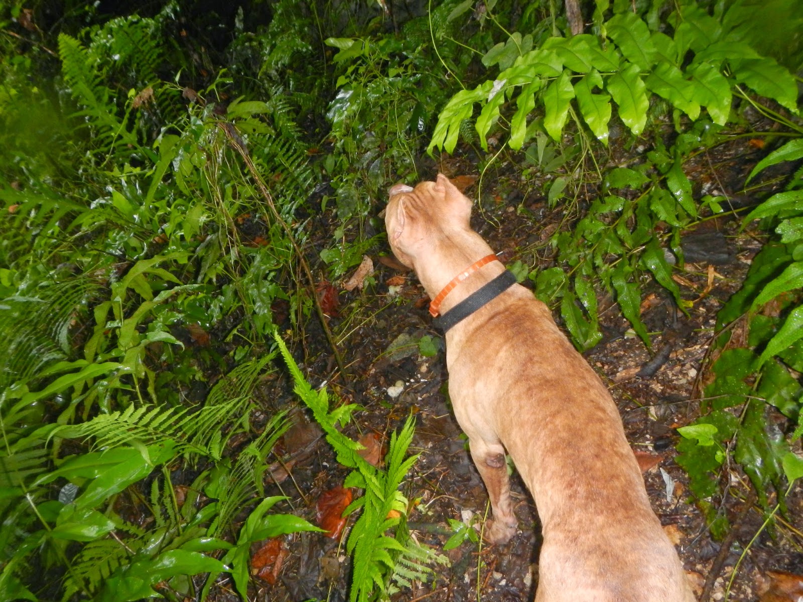
Boy manages to chase away a sitting hen. Looks like some of the eggs are almost ready to hatch...

On Laderan Trail, we notice the encroachment of the ground vines as they traverse across the forest floor. They could eventually become a nuisance.

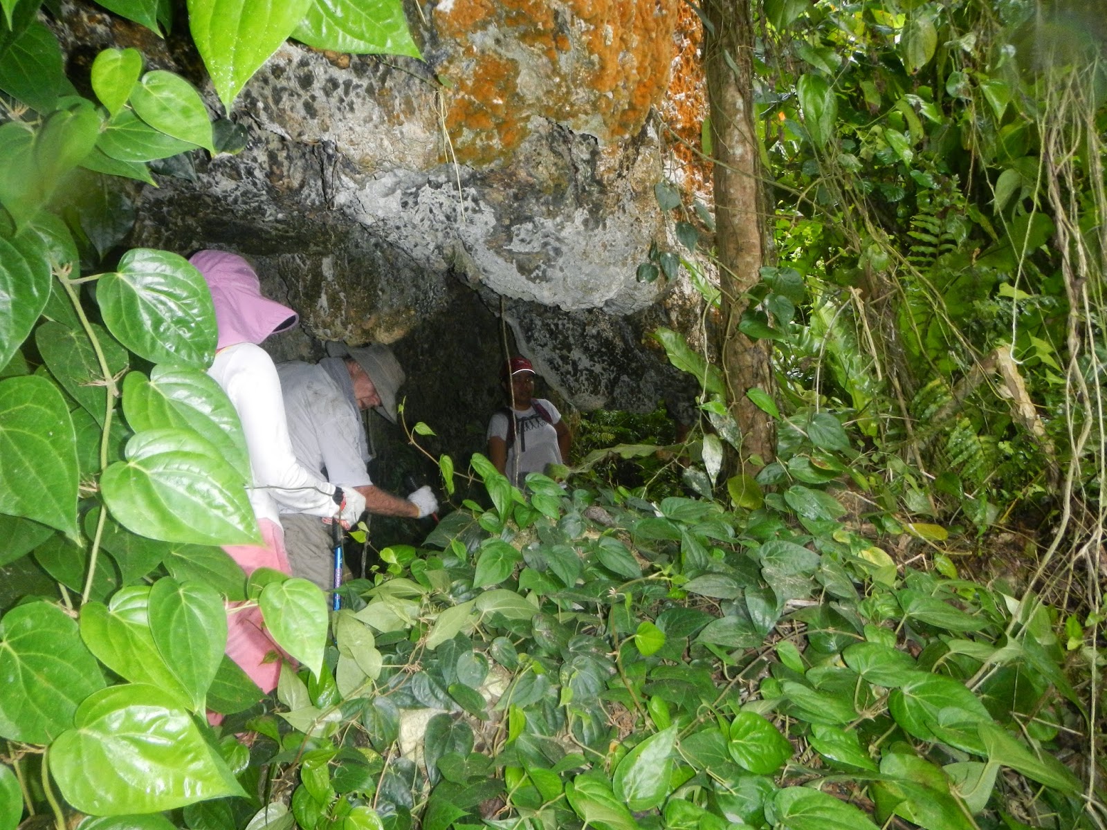
P.T. Doug pauses outside a small cave on the trail.

Some of the trees in the forest grow freely and extensively. Here at Marker 4 is one of those big trees. 

Beautiful bright orange mushrooms growing on a tree trunk.  Note the ground vine crossing over the same trunk, and could, in time, destroy the mushrooms. 

Lookout point around Marker 5. It is a straight drop from the edge. P.T.Doug and Alice take a moment to admire the view.

View of the Pacific Ocean. Looks like two sailboats on the water?

View of Kagman from the lookout.

Sherpa watches ChefSteve crossing over a fallen log. Spicegirl and RedEye wait for their turn.

Although the trail is mostly level, it becomes more rocky with steep slopes later on after Marker 10. Here RedEye, Sherpa, Spicegirl climbing over a small rock formation.

Another fallen log on the trail. RedEye, Sherpa, and Spicegirl follow P.T.Doug

RedEye and Spicegirl duck under a large tree trunk that forms a wide arch.

Spicegirl and Sherpa are excited to have found a turtle on the trail! Alas, it is only a green moss covered hardened fungus.

A shoe casualty on the trail. RedEye lost his sole. he reties his sole-less shoe to continue walking.

Spicegirl picks up a "tin bowl" on the trail. We decide to see if it is one of those canteen bowls. Sherpa takes a real close-up look at the logo on the bottom of the bowl.

Sure enough, it says "ALUMINIUM OSAKA".  An old Japanese bowl left over from long ago. Spicegirl tosses the bowl back onto the forest floor to remain as part of history.

An Earthstar, one of its varieties. The petals are rough to the touch, the pouch is soft and when Spicegirl pushes it in, it emits a puff through the slit on the top.

Two varieties of Earthstar. Spicegirl keeps both on her palm and carries them, through the tough part of the trail all the way to just above Marker 14, in order to show Scout.

A soft, spongy fungus growing on a dead trunk.

Spicegirl still carrying the two Earthstar fungi on her palm, and stopping under another of the giant trees in the forest. By now, the hikers have split into two groups, with one group forging ahead while Sherpa, Spicegirl, P.T.Doug, and CC are busy checking out the interesting mushrooms and fungi.
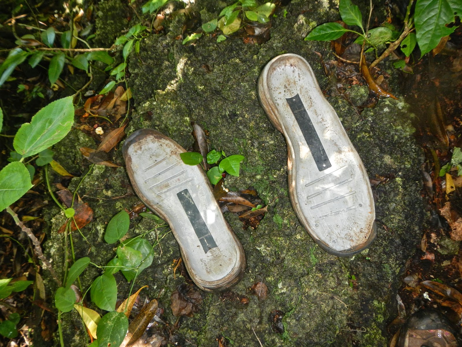
While descending a series of rocky slopes, we notice another sole on top of a rock. Apparently, RedEye lost his other sole! P.T.Doug, who is carrying the first sole, picks up the second sole for RedEye. Meanwhile, the first group has taken a wrong turn and gone off trail. 

After some vocal contacts, the first group retraces their steps back on the trail. Scout emerges on the trail to join us.

Next, ChefSteve and Cutie appear, followed by Alice and RedEye. They join us for snacks.

We arrange ourselves on the narrow trail for this group photo: Soleless-RedEye, Sherpa, P.T.Doug, Cutie, Alice, ChefSteve, Spicegirl, Scout, CC. Boy is not interested. We continue our hike down rocky slopes to Marker 14, where the gateway to Bird Island trail is. We decide not to go there.

"Fried egg" mushroom?

Just after Marker 15, we find more than one area cordoned off with wire fence, and marked with numerous red ribbons. Apparently University of Guam and Rice University are collaborating in research project in the forest. We are not sure exactly what they are studying. 

Tree graffiti and a trail sign that seems to encourage tree climbing.

Everyone really enjoys the hike with cool temperature although not even a light breeze blows through the woods. Five sneakers...

Wednesday, August 13, 2014

Coconut Grove

Above the village of San Roque is Mt. Achugao, a volcanic cone with a fairly steep slope on the south side, and a sheer drop on the north side. Many times we have enjoyed climbing up to the top to enjoy the view and see the numerous foxholes scattered in that area. For our Sunday hike, we have decided to meet at the Kosacks' driveway, then walk toward Achugao, and hike northward to a coconut grove where we may be able to explore further. At 6:15 a.m. A group of 11 hikers congregates for the adventure: Peppy, Cutie, HandyRedeye, JungleCat (aka Cat), newcomers Vince and Rose, perpetual traveler Doug, Rexplorer, CC, Spicegirl, Scout, and dog Boy.  

Starting on the Wireless ridge, or Savana Road, toward Achugao are Vince, Rexplorer, JungleCat, Rose, Cutie, Peppy, Scout, and Doug. 

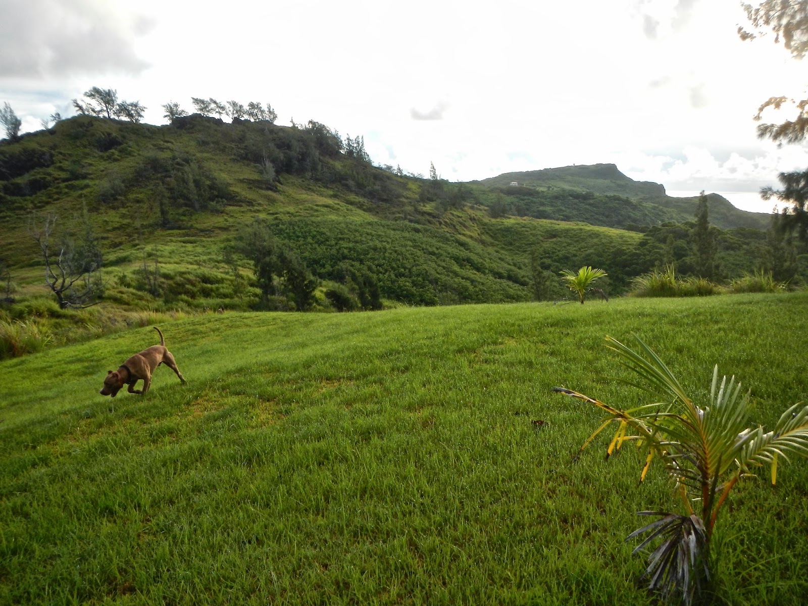
Boy romping on the grassy field, with Achugao in the background.

The trail to the base of Achugao is pure red mud.  Rose hops over a downed tree trunk, while  JungleCat, Scout, RedEye, Cutie wait their turn, careful to step on grass clumps to avoid the red mud. When the group reaches the base of Achugao, Rexplorer, Doug, Rose, Spicegirl, Scout, and Boy decide to climb to the top of the ledge, and the rest of the group will continue onto the "trail" and meet up with the others when we reach the cave.
Flower of the passion fruit vine.

Barely visible is RedEye's head. When we reach the cave, he climbs up to the hillside above, and dropped into a trench to see how deep it is.

Here is the trench.

Vince, JungleCat, RedEye, Peppy, and Cutie relaxing while waiting for the others to rejoin the group. Beyond is the Philippine Sea.

Slacking off and sitting down on the job, and appearing to be taking a nap! Actually, RedEye is doing a favorite buttsliding on the slippery grass.

Following the example of RedEye, Spicegirl and Peppy likewise buttsliding down the slippery grass. 

The old familiar trail has completely disappeared, so we split into two groups to find the best way to reach the end of this field of tall sword grass. 

Rexplorer urges everyone to join him and Doug on the high rocky "hill".  It involves scaling up to the top. Here Peppy manages to haul herself up.

Taking a short break to survey the thick jungle below, our next destination.

From sword grass to thick jungle, we are near the trail that will lead us to the coconut grove.

Stages of Bridal Veil Mushroom
(brief info extracted from Wikipedia)
Brand new appearance of the mushroom still only in its stock. Its scientific name is Phallus Indusiatus. It is also called bamboo fungus, long net stinkhorn, or veiled lady. It grows in well rotted woody areas. We find this in the vicinity of the coconut grove.
The conical cap on top of the stalk grows out next. Just beneath the cap is the delicate skirt, or "indusium". Notice the bulb the stalk is growing out of.
Finally the mushroom is fully grown. The cap contains slimy spores that attract flies and other insects that eat the spores and disperse them. 

Another bulb ready to sprout.


Doug, Cutie, and Vince on the trail.

Amongst fern bushes and coconut trees, we are ready for a snack break. Rose, Vince, JungleCat, Cutie, RedEye get the snacks ready, while Peppy checks if there is internet connection!

Underneath a fallen tree trunk is this orange "Casper the Friendly Ghost" suspended over the rotted leaves and other debris.

A group of beautiful hikers (without Rexplorer who left early): Scout, Rose, Peppy, JungleCat, Vince, Spicegirl, Doug the perpetual traveler, CC, RedEye, and Cutie.

Orange "Club and Coral" Fungus. Best not to eat them!

We find our way back up the hill.

Back on the big rock, we stop for a breather and once again admire the view, and checking on where we have been in the thick woods below.  

The above google map shows how close we have gone to almost reach the shooting range. Not sure if the trail is clear enough. But then, we have been beating through jungles of tall grass, bushes, and other obstacles to create our own trail anyway! Next time?
Everyone seems to have really enjoyed the adventure, several have confirmed that it is a Five-Sneaker hike...


Wednesday, August 6, 2014

B29 Wreck??

With our fun hike up to Suicide Cliff last week, we decide to tackle another interesting site this week, namely the B29 wreck on the slope of Mt. Tapochao. We meet at our usual time of 6:15 a.m. on the grassy lawn above the Coral Isle Condo. HandyRedEye, Cutie, Sherpa, Spicegirl, Scout, Rexplorer, CC, Doug, and first time member Cat gather at the site, with Boy the hiking hound. 

We run into Kimiko, who happens to be the person who has directed us to the plane last year when we were lost. While Sherpa visits with Kimiko, Boy is getting acquainted with his new friend.

Cutie leads the way down Navy Hill Road to the Lamar trail head. We are surprised to see that the road has finally been "repaired", and the previously exposed pipe dug up and discarded on the side of the road.

We turn onto the Lamar trail. New palm growth looking like fireworks.

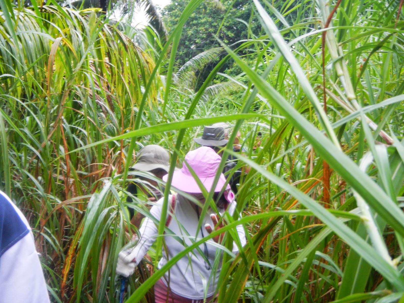
The ever present sword grass has grown above and beyond. Here Cutie, SherpaJane, Rexplorer, Doug, and Scout pushing their way through.

We turn onto the offshoot that should lead us to the plane. The previously clear trail has become nearly impassable jungle. Cat ducks under this branch following Doug and Rexplorer.

Deeper into the jungle, we have the feeling that we have missed the turn to the plane. There is no hint of any trail, so we continue on up the hill, following Rexplorer the explorer looking for a possible lead to the wreck.

By now, we are pretty certain that we have missed locating the plane. Here Cutie and RedEye negotiate carefully around a cliff wall.

Are we ever going to find our way out of this jungle??

Rexplorer and Doug trample through the jungle to make a passable trail for us to follow. We keep climbing over branches and thickets of vine in search of an exit.  

We come to a rock wall. We can either scale the wall, or weave through the pandanas roots to a gentler slope. Sherpa squeezes herself between the tightly packed root system.  

Boy is carefully surveying the scene to determine which way to get to the top. 


Rexplorer decides to climb up the side of the wall. At this point, our main purpose is to find a way out of the jungle. All thoughts of seeing the wreck has been abandoned.

Cutie, RedEye, and Cat going through this rock passage.

This interesting fern dotted full of spores, called sporangia. Apparently ferns do not need pollination to reproduce. The sporangia will eventually burst open and scatter to create a new generation of ferns.

HandyRedEye is the first and last butt-slider.

Rexplorer continues to fight through the thickets of sword grass, bushes and branches to lead us out of the jungle.

Doug, Cat, and Cutie follow the trampled path.

A cry of joy from us when we see the Coral Isle Condo in plain sight. Even though it is in the distance and over a deep valley, civilization is within reach!

Doug peering through the grass. We continue to follow Rexplorer's trail blazing along the rim of the valley, certain to find the exit onto Tapachao Road. Along the way we see groves of banana and coconut trees, sure signs of human involvement. 

Very excitedly we see a couple of red ribbons, marking the hiking trail. Unfortunately, after that we see no more ribbons.  Then we come upon a substantial banana farm,  and at the far end we see this beautiful cluster of bananas and a bundle of ferns ready for transport. We know we are near our exit. A short distance up the slope, with a sigh of relief, we come to the well known Captive Way.

Cutie and RedEye bringing up the rear. Meanwhile snacks have already been spread out on the tablecloth right on the side of the road. Spicegirl is intently checking out a package of food. We savor the snacks, and happy to reach the end of this three-hour adventure.

Scout, SherpaJane, Spicegirl, Cat, Cutie, Rexplorer, Doug, CC, and RedEye. Even though we never set eye on the B29 wreck, we are very happy with this "jungle hike". Everyone enjoys seeing the truly beautiful jungle. The hike is a short circle, but full of interesting sights, and challenges. A five-sneaker adventure. We still have another opportunity to explore and find the plane...


A