Wednesday, August 5, 2015

XTerra EXtra

Although notice has gone out for the Sunday hike down XTerra trail and Hidden Beach, but Typhoon Soudelor seems imminently close to Saipan that the fall-back plan is to wait and see what the weather situation is in the morning. 
Comes Sunday morning, the sky is overcast, but no rain. And in the driveway is Giggles. So Rexplorer, Doug the rambler, CC, and big dog Sukha join Giggles and wait around a bit for the rain to stop. We finally leave the house at around 7 a.m.
The date is August 2, 2015.

XTerra trai is surprisingly overgrown in the short time since it is cleared two months ago. Recent rains during the last two storms definitely speed up the growth.
At the lime tree, we decide, instead of continuing on XTerra, to turn down and around onto the trail along the ravine towards the base of a hill that we can see from the upper trail. It's time to explore.

On the new trail, there are some exotic plants. These look like torch gingers. The green one has a white flower growing out on the side.

As we climb over fallen branches, and thick leafy fronds along the ravine, we hear a big splash. There, fifteen feet below us, Sukha stands in the pool looking up at us, a little surprised, and wondering how he is going to get back up the cliff. He eventually finds his way to rejoin us.

Another exotic flower.

Rexplorer ventures into the boonies.

With a tight grip on her mango walking stick/sling shot pole, Giggles manages to get over a particularly tricky maneuver around a tree, with Rexplorer's assist.

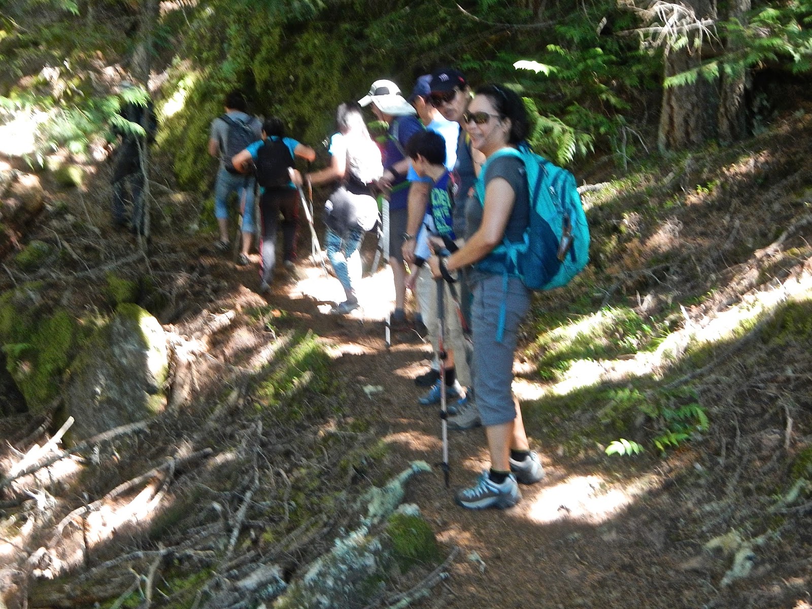
Following Rexplorer into the unknown, we have to carefully watch each step. 

Doug gets down into the river bed to explore for possible trails up to the hill top.

As Rexplorer needs to return home soon, instead of retracing our steps we decide to find a way up, knowing that the original XTerra trail is just above us. Doug soon finds out it is much tougher than it looks.

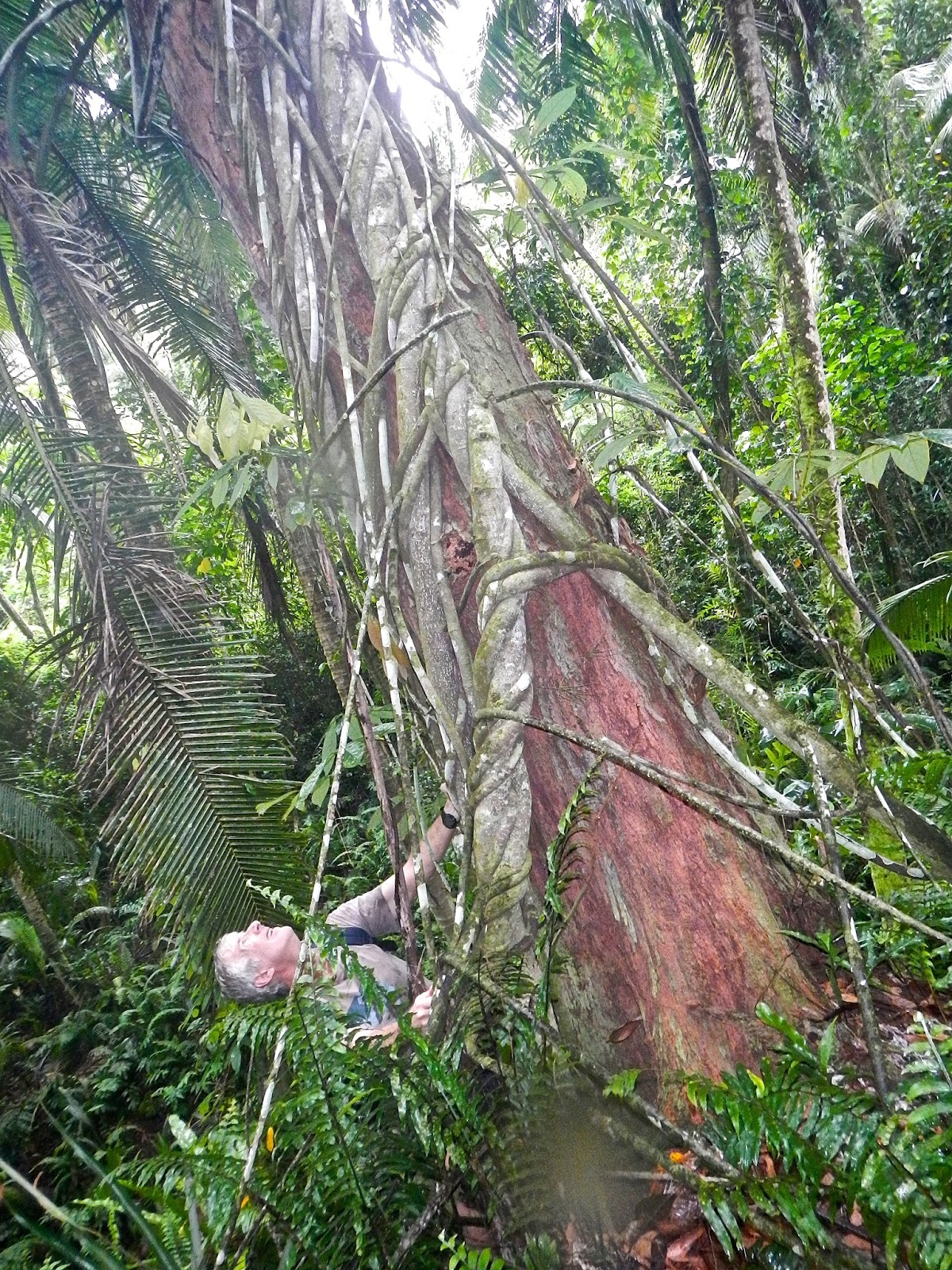
Part way up the slope, we see this very tall ironwood tree that has the most intricate vines that turn and twist around and up the trunk in a most mysterious manner. Doug tries to look as far up as possible to figure out how it is formed.

Meanwhile we continue to find a way up.

Rexplorer: "I think this looks like a pretty clear opening"

This tree is covered with a beautiful lime green spongy moss.

Rexplorer continues his climb uphill and soon disappears into some spiny bushes and thick sword grass. We hear him yelping and cursing from cuts and stings along the way. But he makes it to the grass knoll next to the trail.

Giggles and CC follow and thrash through the spiny bushes and sword grass.

A smiling Giggles is very happy to come out to the clearing.


A view of where we had been down below the gorgeous palm forest.

Sukha says we have promised him a short and easy hike. But he enjoys the adventure anyway. Rexplorer goes ahead with Sukha back home. Giggles and CC wait for Doug.

After a while, Doug appears from the boonies.

As soon as we start to go down to the trail, a torrent of heavy rain whips us around and completely soaks us through and through. But we agree it is much fun. 


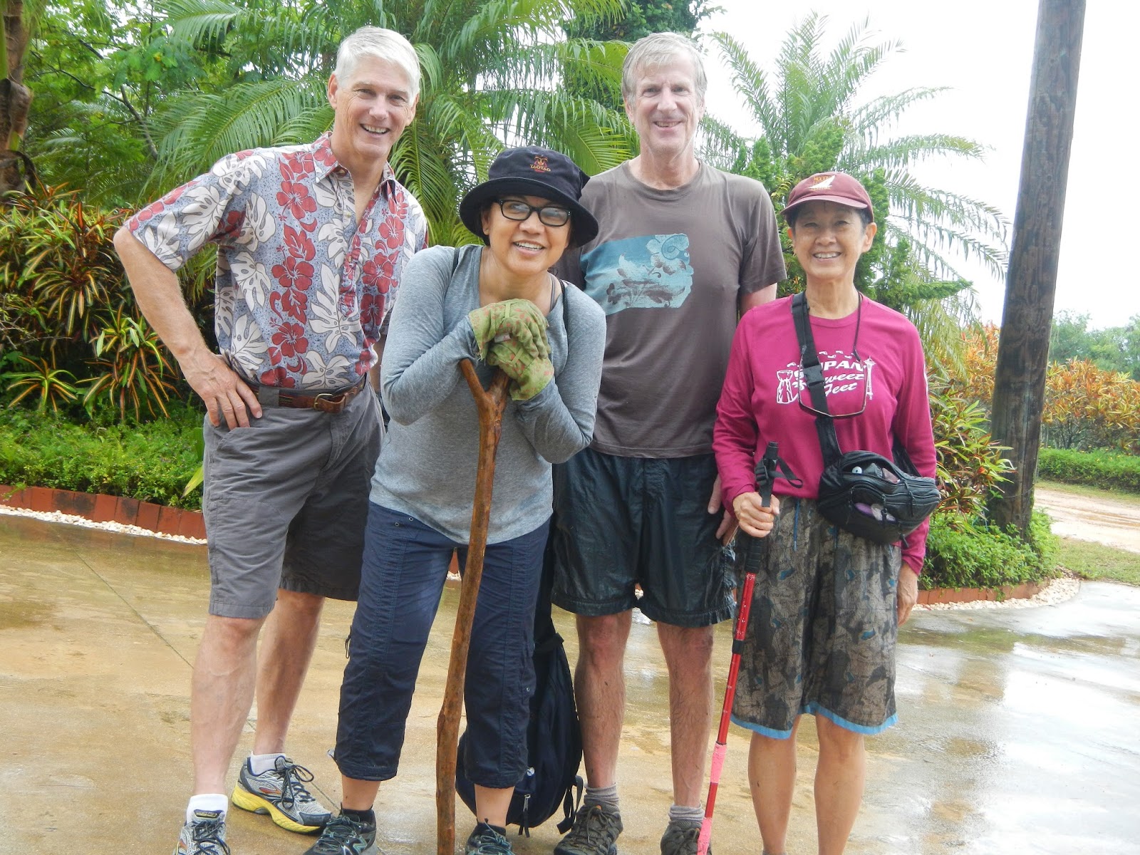
Three wet rats and a clean-scrubbed Rexplorer.
We agree that we should go back to the same trail and beyond on a drier day. There is much to explore.


Thursday, July 30, 2015

Deer Ridge/Slab Camp Trail, Olympic National Forest

In March of this year, we went on a hike to Deer Ridge in the Olympic National Forest on the Olympic Peninsula, Washington. In the 3/2/15 blog, we show our hike being cut short by frozen snow, icy and slippery trail. Now that it is July, in the middle of summer in the northwest, we decide to tackle the same trail again, without the snow. 
On Sunday July 19, we drive 45 minutes to the town of Sequim, then another 40 minutes to the trailhead. Along the way, we notice that the usual sunny sky is now overcast, possibly foreshadowing a viewless hike into the mountain. Too late to turn back, so we hope for the best. 

Near the trailhead notice board, John, Jay, and Stella walk toward a foggy trail.

Stella, Tyler, Chloe, Justin, Joaquin, Rex heading toward the fog, not knowing whether the fog would lift.

Most trailheads have one or two outhouses. But not this one. So we take a few moments to get ready for a long hike. Standing around are Chloe, Rex, Alice, Joaquin, John, Stella, and Jay. Tyler and Justin in the distance waiting for the start of the adventure. 

Soon the fog clears, with blue sky overhead...

From here, the trail begins to climb steadily steeper.


Taking a short snack break on this rock overlooking the snowy mountains and deep valley. This is the only group picture taken on this hike: Jay, Tyler, Justin, Chloe, Rex, Alice, Stella, Joaquin, and John, with Clarie at the camera.

With the sun fully overhead, John decides to dress down.

The woods protect us from the hot sun. With this unusually dry season, only a couple of  mushrooms are seen on the semi-scorched ground.

A slight pause after a steep climb.

A happy Rex.

Stopping for lunch at the bench in memory of Phil Hall, a longtime volunteer from Sequim. CC, Alice and Stella take the opportunity to rest their feet.

A breathtaking panoramic view of part of the Baldy and Gray Wolf mountain range.

With four of the hikers deciding to stop and wait, the rest continue onto the turn around point at 4.6 miles: Tyler, Jay, John, Rex, Clarie, and Joaquin. We are quite elated to have reached this point. 

The weather remains gloriously warm as we wind our way down, joining the others in the woods. We then decide to take a different route back to the start. Descending down to a beautiful field of low growth and deciduous trees, we enjoy the change of scenery.

Soon we emerge from the field onto an old abandoned road, with abundant wild flowers.

Unbeknown to us, this old road goes on and on, with very uneven terrain and lots of rocks. The afternoon heat is also bearing hard on everyone. By the time we finally reach the trailhead and the beautiful sight of our cars, we figure the return trip is almost one mile longer than the original trail, making the total distance of today's hike about 10 miles, and over 7 hours. 
It is a great hike!


Wednesday, July 29, 2015

Lost Village

With old buildings near our homes, we decide to explore some of these buildings in our "lost village" hike. Here is a series of old buildings we find on our hike recently. An enthusiastic crowd gather on Sunday morning anxious to take to journey to the past.

Pre-hike photo shows Penny and Doc, Thor, Indie, Doug, Ewok, Giggles, Sparky, Cutie, Chops, CC, RedEye, Explorer.

Down the road we go.

First Japanese era building, just off the road in the boonies.

Cutie, Thor, Ewok, and Chops looking around at this old building. The strings of crane origami indicates previous visitors had been there.  

Fallen pillars and concrete blocks everywhere.

almost modern toilet.

We continue into the boonies to another building nearby.

A narrow and rickety railing leading up to the second floor of this building.

Stairway leading to a long hallway.

The roof top is now completely covered with vines and ground cover. 

Doug, Chops, Penny, and Doc pause and enjoy the quiet surrounding..

The main room is clear of debris, and shows signs of having been visited upon with respect.

An amazing wall of detailed sketches for tool storage.

Old gate posts

Continuing on to the next discovery.

Old shell casing.

Up and down the hills,  the search continues.

A great view of Managaha.

Indie taking photos, an unfinished structure in the background.

Sharing an orange at our usual snack break. 

Making our way back.

A foxhole on the hill side overlooking Tanapag.

A little rest before we head back.

Back to the start: Penny, Doc, Thor, Chops, RedEye, Ewok, Rexplorer, Doug, CC.
Front: Indie, Giggles, Cutie.

A short hike of 2.87 miles with lots of stops and exploration that takes 3 hr. 18 min. 13 seconds!