Saturday, July 20, 2013

Laderan Tangke

The Laderan Tangke trail, where many bird species reside, has been one of our favorites. Having hiked and gotten lost on this trail multiple times, we have a great deal of respect for this old limestone forest. One of the reasons why we had become so lost easily in this forest was the rough terrain and confusing ribbon markings, leading to many false trails. Another reason was the collapse of the original wooden trail number marking posts. Recently, both of those issues have been resolved. New orange color metal posts have been installed, clearly visible along the trail. Blue and white ribbons have also been tied to trees and vines within sight of one another. On 7/14/13, Handy, Cutie, Chops, Bruiser, Jane, and CC gather at the trail head where the sign board shows the trail route, and a wooden box contains picture pamphlets with description of the landscape and bird alert for each post mark, in Japanese, Korean, Chinese, or English. 


At the lookout, Jane and Bruiser wowing at the view of the Pacific and the shoreline.

Little mushrooms favor dead and rotten tree trunks.

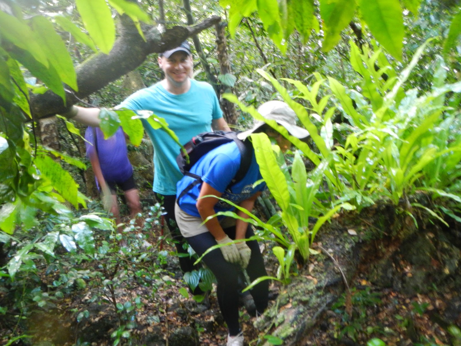
Some of the best looking birds nest ferns grow in this forest. Jane peeks through the foliage.

Not sure what Bruiser is checking on his phone. An urgent business call? Handy takes this chance for a little rest.

Hiking along this fantastic rock wall, with roots extending from the top of the cliff. Chops rests easy for this photo opportunity.

A little further on the same cliff, Jane and Bruiser climb up to check out the crevice and take a few pictures of some hanging "tooth" like rock formation.

Deep into the forest, Cutie takes a water break while Handy and Bruiser rest.

Jane, Chops, and Cutie climbing up the steep slope over jagged rocks and slippery roots. Every step has to be placed carefully to avoid slipping and falling.

Coming down from the top, Handy picks his way carefully, Cutie checking to make sure all is good, while Bruiser "monkeys" around, hanging from a branch.

An archway across the trail.

 
A massive bundle of roots draping down the rock face like Repunzel's hair. 

This giant tree trunks is resting on rocks across the trail. One has to either cross above or below. Chops uses her arm strength to scoot under the trunk. Pretty limber...

Handy uses the fail-safe method of going under on hands and knees. Also pretty limber.

Chops' shoe opens its mouth and complains of fatigue. Another shoe casualty!

A foxhole right in the middle of the trail. Jane checks out what kind of strategic view does this foxhole has.

Another foxhole near post 15. 

Back at the parking lot, having had our tailgate snacks. 

Laderan Tangke trail is a five sneaker trail, wet or dry. Next week we explore the Bird Island trail from LT, between post 14 and 15.

Wednesday, July 10, 2013

Hikes: 6/29/13 & 7/6/13

6/29/13 Kimikaze/Golf Course

With most hikers occupied, five hikers decide to revisit Kimikaze trail and the Marpi golf course. Meeting up at the Go-Kart parking lot, Handy, Cutie, Chops, WonderWoman, and Capt. Charlie head to the old FEBC hill (Ayuyu Road) up to the turn off for Kimikaze.

This impressive formation of a rock hanging precariously from the tree trunk on the FEBC Rd. 

Cutie on Kimikaze trail. The ferns are growing beautifully from recent rainfalls.

We are hungry for snacks. Since the grass areas are wet, we decide to park ourselves right on the road side under the shade of the coconut trees. Traffic is so rare that we see only one car and one biker. 

Having finished our snacks, we continue on Magpi Road back toward Ayuyu Road.

There are several workout stations for us to try out, even though most of them are falling apart. Wonder Woman strikes a sit-up pose.


Back at the Go-Kart parking, we sit for a group photo: CC, WonderWoman, Handy, Chops, and Cutie.

7/6/13 Naftan Point

Another busy Sunday for most of the hikers, so the four die-hearts drive over to the Naftan trail head at Hawaiian Rock. The morning is cool for Handy, Cutie, Chops and CC to start on the trail.

Although the trail is still clear, the bushes have grown taller, and remain wet from the recent rain. We re-acquaint with hiking from the direction of Hawaiian Rock instead of Obyan Beach. So instead of climbing up the uneven coral road, we walk on a flat and clear path.

Handy walking past the large rock behind which is the path to several concrete structures for big guns, which were never used. We decide not to climb up the slippery rocks to visit the sites. 

Walking past this cave, we recall Superman has earned his name by volunteering to climb down the steep slope to check it out. 

Arriving at Naftan Point and being greeted by this bright sky and calm sea. We enjoy the quiet scenery.

Looking around the quiet surrounding, we discover that some people have disrupted the serenity by setting up a target practice on top of this big rock. Broken coke bottles litter the top, and bullet holes puncture the rock face.

From the Point, we can see Forbidden Island in the distance.

Fish head!

On the way back, we take the side tour to check out the cliff that used to have a fairly sturdy guardrail. Unfortunately, time and neglect have completely destroyed the guardrail. 

Chops ventures to the remaining rickety frame for a closer look down the cliff that drops straight to the rocky shore below.

Looking down the north end of the cliff past the rusty metal post.

Looking down the south end of the cliff past another rusty metal post. 

After having our snacks near the cliff, we don't forget to have our photo taken, with Chops, Handy, Cutie, and CC. A good and pleasant hike, not strenuous.

Next week, we hope to tackle the Laderan Tangke trail with the Bird Island Lookout excursion added on.


Thursday, June 27, 2013

Two Hikes

Hidden Beach 6/9/13
Our first hike since early May has to be a short and simple one for everyone to get back into the groove. At CC's driveway, Bruiser, Jane, Cutie, Handy, Chops, SpiceGirl, who brings her puppy Boy along, get ready to go down Xterra trail and to Hidden Beach.

Boy meets Girl (Perky).

Grass on Xterra trail is longish, but very passable. Chops makes her way down the trail sure-footed. The trail is dry and easy. 

Hidden Beach. It's high tide but fairly calm.

Boy is like the king of the hill, surveying his kingdom.

, 
After we have already finished our snacks, Handy comes sauntering down the beach, having had to take Perky back home from the trail, and then catch up. We are happy to see him.

Handy, Cutie, SpiceGirl with Boy, Jane, Bruiser, Chops, and CC.

Although we, as usual, really enjoy Hidden Beach, we are disturbed to see the trash people have left on top of the rocks, ruining a perfectly beautiful beach.

Achugao Exploration 6/23/13

We have intended to explore the Achugao area for some time now, and with almost everyone free to hike this Sunday, it is a perfect chance to realize the plan. At 5:45 a.m. Sunday morning, we gather at CC's driveway: Cutie, Handy, PT Shelley, Wonder Woman, Chops, Giggles and son Adam, Bruiser, Jane, CC, and special guest Rexplorer (aka Professor K) who will lecture on the historical significance of the Mt. Achugao and the Wireless Ridge area during the war. Beginning with Hill 721 (Fourth of July Hill).

The first stop is to view Hill 721 behind the house. Professor K explains the fierce battle that results in capturing the hill on July 4th, hence the name Fourth of July Hill.

The lecture continues as we make our way uphill, on Savana Road, toward Mt. Achugao. PT Shelley leading the way.

WonderWoman and Cutie leading the pack on the trail to the foot of the Mount.

The start of the steep climb to the Achugao ridge. Handy, Adam, and Chops picking their way very carefully over loose rocks and very uneven slope.

Rexplorer, PTShelly, and Bruiser surge forward ahead of the pack. PT is actually running, maybe to pass Rexplorer!

Cutie makes use of gloved hands to keep steady footing.

Giggles and Adams determine to push on. Giggles carrying a very heavy backpack that we hope contains lots of goodies. Chops and Handy are taking a break resting before their next stretch of uphill climb.

With the help of her hiking pole, Jane almost reaches the top. This is a very steep part of the slope. 

View from the top of Achugao Ridge, San Roque village and the old Nikko/Palms hotel clearly visible.

On top of the narrow ridge, Adam, Rexplorer, Giggles, WonderWoman, Jane and Bruiser mesmerized by the view. 

We descend partway from the ridge and cut around the mid section of the mountain on the trail. From the trail, we can look up and see the cave on the cliff. 

Scrambling up the slope to the cave, we see this deep hole, probably from a bomb.

PTShelley takes a tentative look into the cave.

Inside the cave, we discover two rows of nails embedded in the cave wall. We speculate the purpose of having those nails. The cave is in a T-shape, about fifteen feet deep, without another exit.

From the outside, we walk about 15 feet and find this unfinished dig, which we conjecture is meant to be the exit point for the cave.

From the cave, we double back on the trail to the base of Mt, Achugao ridge. We run into this unexploded shell halfway buried in the ground. We decide not to dig it up and risk losing a limb.

This foxhole is still hiding a soldier ready to shoot us down!! Actually, it is Bruiser re-enacting the war scene. 

We find another well preserved foxhole that we can all climb in: Chops, Rexplorer, Cutie, Handy, Capt.Charlie, WonderWoman, PTShelley, Jane, Adam, Bruiser, and Giggles.

Many more foxholes along the ridge lead us to this bomb sitting atop a rock.

Under the shady pine trees, we stop to have our snacks. Handy looks awfully comfortable.

Chops, Adam, Jane, Bruiser, and Rexplorer enjoying a rich assortment of snack.

Our final leg of the hike is going down the southern slopes into the valley in search of an ancient artifact. On the way, we see this Japanese NKK marker. When we reach the valley, we venture further through tall grass and onto a stream bed. Crossing the stream bed we turn left.

This is the object of our search, an ancient grinding stone. Bruiser, Jane, Cutie and Handy admire this stone used by people who lived near the stream.

Handy finds the stone a good seat. We don't see the pestle for this grinder. 

On our way back up the hill to head home.

This hike is nearly four hours, not quite the short hike we had anticipated, but covers a lot of grounds and historical facts. The Wireless Ridge and Achugao was one of the big battlegrounds on island and it is worth spending the time to learn about it. It is Four Sneaker Hike.